New multi-use path at Fort Garry ready for a ride or walk
Explore the new green corridor and area improvements, including reclaimed-wood benches
On your next lunch hour, be sure to visit the new Eastern Transportation Corridor (ETC) multi-use path. The corridor runs along the eastern edge of the Fort Garry campus, adjacent to the Point Lands, including Freedman Crescent, Saunderson Street and Dysart Road.
The ETC multi-use path is a recreational route new to the Fort Garry campus. The path is part of the area improvements that commenced in 2018 with the Saunderson Street road renewal.
A transformative green corridor
Following the Visionary (re)Generation Master Plan, Saunderson St./Dysart Rd. has been re-envisioned as a “green corridor” and the upgrades are in alignment with the UM Pedestrian and Cycling Plan. The new corridor is transformative for the landscape at the Fort Garry campus.
In addition to the pathway, improvements planned for the area include tree planting, native prairie revegetation, seating, signage and wayfinding. In 2020, 230 trees were planted along the corridor — highlighting species native to Manitoba such as bur oak, Manitoba maple, cottonwood, and hackberry among others. Native seeding will take place in June 2022 with future enhancements continuing to be phased in through the coming years.
Reclaimed wood from campus trees are now beautiful benches
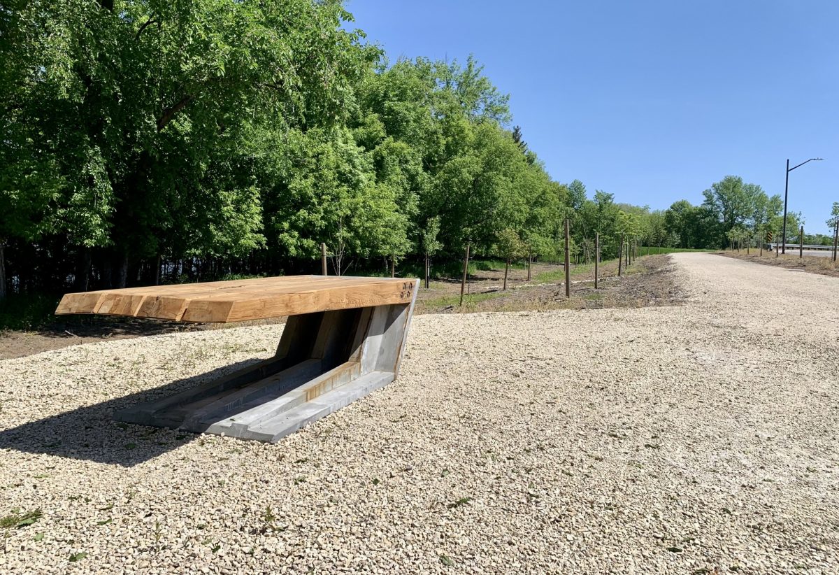
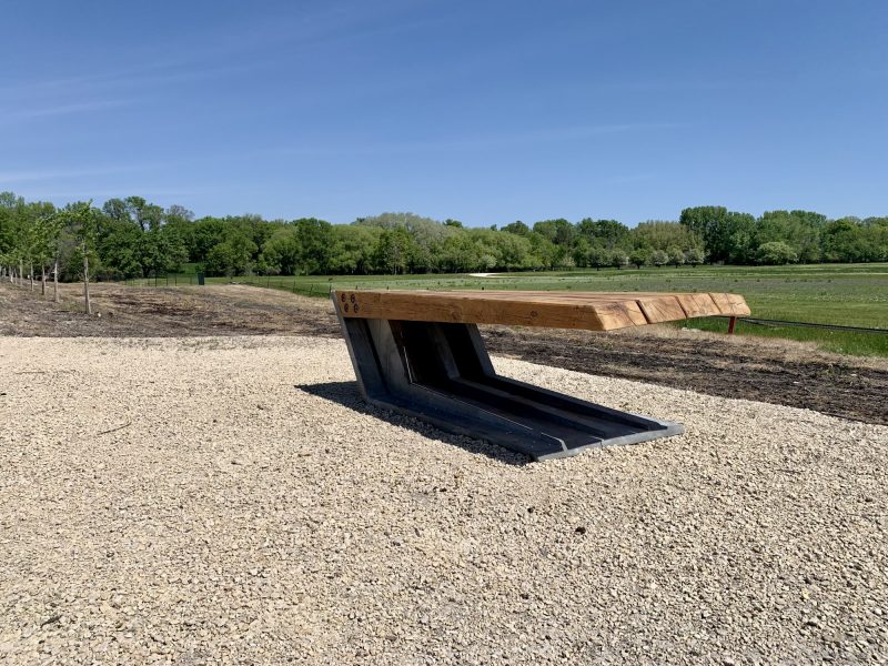
 Along the path, you will find three seating and wayfinding spaces with a bench at each. These expertly designed CANI┴LEVER benches, originally designed using Accoya wood, were re-envisioned in 2019 and constructed by the Faculty of Architecture’s FABLab using reclaimed wood from campus trees that were removed during riverbank stabilization work.
The salvage and reuse plans continue to be incorporated into standard specifications for construction on campus to support goals within the UM Sustainability Strategy 2019-2023 and help ensure sustainability remains at the centre of campus development.
The visioning process
In May 2021, an interdisciplinary, two-day collaborative workshop encouraged participants to reimagine the seating and wayfinding spaces along the multi-use path by integrating the UM Indigenous Planning and Design Principles into their ideas and concepts for the future planning and design of the corridor.
Students, staff and faculty were encouraged to connect with the site and landscape elements, while celebrating native prairie vegetation and its important role in Indigenous cultures. Four essential themes were identified for the workshop: Cultural Landscape: History of this Place, Water, Ecologies and Creative Expressions on and for the Land. Presentations and breakout sessions integrated these themes, allowing participants to create a collaborative, inclusive environment for exploration and analysis.
In the workshop, participants considered ideas and concepts for the three seating and wayfinding spaces along the multi-use path and discussed strategies for the overall wayfinding and interpretive signage along the corridor. Presentations and guidance from mentors – including members from the Indigenous campus community, faculty and industry professionals – supported students in creating their proposals. Participants documented their ideas under three key concepts: People and Connections, Water, Flora and Fauna. These concepts and ideas developed during the workshop will help inform future development along the corridor.
The new ‘working landscape’ will change and transform over time
The corridor is the gateway to the river bottom forest and a future learning landscape of the Point Lands, that will provide education and engagement for numerous faculties as well as a new recreation destination for pedestrians and cyclists alike. Enhancements to the corridor create a new “working landscape” that will change and transform over time as part of the long-term plan for the campus.
We hope your experience of the space is improved and that you enjoy the time you spend along the Eastern Transportation Corridor. See you on the path!


