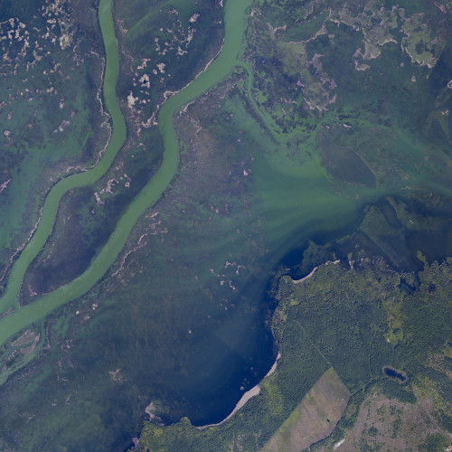
Student GIS scholarship now available
Apply to have your UM Geographic Information System tech work recognized
ESRI Canada has awarded UM with a student GIS scholarship to recognize the work being done using GIS technologies at our institution. The competition is open to UM students in any faculty using ESRI technology to visualize their work.
A geographic information system (GIS) is a computer system for capturing, storing, checking, and displaying data related to positions on Earth’s surface. By relating seemingly unrelated data, GIS can help individuals and organizations better understand spatial patterns and relationships.
Submission requirements
At the University of Manitoba our criteria are:
- Eligibility: Graduate or undergraduate capstone/thesis students in any faculty
- Application requirements: Personal statement, summary and sample of work completed using ESRI technology (e.g. PDF of a map or poster, on-line story map or other digital products)
- Deadline: May 15, 2022 for package submission to umlgis [at] umanitoba [dot] ca
After the May 15th deadline, a multidisciplinary committee will review submission packages. If you are the successful candidate, you will need to submit a poster and a short report to ESRI Canada in order to receive the award. You are encouraged to submit the report as an ArcGIS StoryMap.
ESRI poster and report submission details
ESRI also provides links to previous successful scholarship applicant profiles where you can see sample projects.
Scholarship award
The award includes (but is not limited to):
- A one-time payment of $900
- A three-year term license of ESRI’s ArcGIS Pro software for education and research use
- A three-year Professional-level subscription to the ArcGIS Developer Program (ADP)
- Two ESRI Canada instructor-led training courses
- Registration for one of ESRI Canada’s User Conferences
Visit the Scholarship FAQ Page for more details or contact umlgis [at] umanitoba [dot] ca.


