Discover Weyburn: Detailed risk mapping could help Saskatchewan farmers
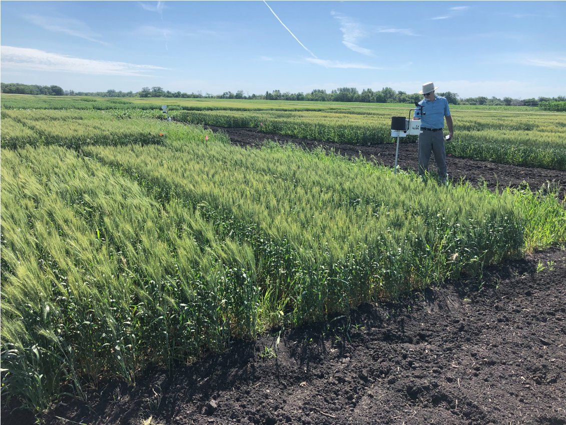
A project that helps to map the level of risk of fusarium head blight throughout the prairies is looking to gather more data to help create a detailed picture for Saskatchewan. The mapping tool, provided by the University of Manitoba in partnership with several organizations across Alberta, Saskatchewan and Manitoba, uses weather data such as air temperature, relative humidity, and rainfall to calculate the risk of fusarium head blight and generate maps showing the risk.
“The severity of fusarium head blight is really dependent on weather, and so in order to try and come up with a prediction of the severity of the disease, you need to monitor the weather conditions,” explained Paul Bullock. He is part of the research team that is gathering the data for the project.
To read more on this story, please visit Discover Weyburn.


