


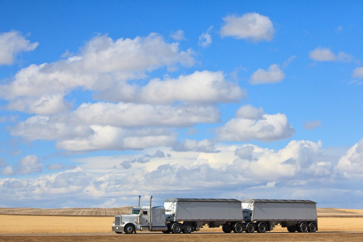
Two engineers will use artifical intelligence to improve the resilience, fluidity and safety of road freight transport in the Canadian Prairie and northern region.
Creating the most intelligent maps in Prairie history
You can buy a variety of maps of the Canadian Prairies, but none of them show the information governments—keen to provide safe and efficient transport of freight—are in need of, which is why two University of Manitoba engineers are embarking on a novel project to create maps no one has ever seen.
Professors Jonathan Regehr and Babak Mehran in UM’s Price Faculty of Engineering have received $1.6 million in collaborative R&D funding from the National Research Council of Canada’s (NRC) Artificial Intelligence for Logistics Supercluster Support program to carry out the work.
They will begin the first phase of the project, “Applying artificial intelligence to improve the resilience, fluidity and safety of road freight transport in the Canadian Prairie and northern region,” by cataloguing truck routes and activity in the Canadian Prairies. For five years they will collect data on the number, type, and weight of trucks using roadways, and how they collectively behave under various road-weather scenarios. Such data, though fundamental to designing and managing safe, reliable and efficient transportation networks, is lacking not only in Canada, but in most of the world.
The second phase will directly involve experts from the NRC’s Digital Technologies Research Centre, including Dr. Chaouki Regoui, and will build on the first phase collaboration with experts from Manitoba Infrastructure, and International Road Dynamics, a Saskatchewan based ITS (Intelligent Transportation Systems) company. This phase will create the first-ever models of Prairie provinces road logistical networks.
“Manitoba Infrastructure has an extensive history of working collaboratively with the University of Manitoba,” said Infrastructure Minister Ron Schuler. “Partnering with local researchers on these types of projects will help us make our roadways safer, benefitting all Manitobans, while also fostering economic growth through trade and commerce.”
The new models will reveal what the crucial networks are, their weaknesses, and what consequences arise when catastrophic risks become reality. For example, they will reveal supply chain vulnerabilities resulting from extreme weather, or which rural highways should ideally be four-lanes. The models can further be used to develop weather-responsive traffic management strategies such as variable speed limit to improve traffic safety in winter.
“There are many natural and human-made risks that can arise and disrupt transport, and risks to moving certain freight,” Mehran says. “So what we want to do in this project is to address these challenges by applying artificial intelligence. By using AI, we would be able to find new methods to manage such a large network in a more efficient and safer way.”
Logistics and transportation activities are very complex and impacted by a number of factors (e.g. traffic, weather, and road conditions). The combination of these factors produces thousands to millions of possible scenarios, each having a different impact and probability of occurring. AI techniques will enable data-driven models that will uncover various factor relationships in scenarios of interest, benefit from historical data, and generate complex scenarios that would not otherwise be possible. These models can then be updated when new data is added, and will be very useful in decision making. The project will provide federal and provincial governments with the data they need to make informed decisions.
Rish Malhotra, CEO of IRD, added: “We’re excited to collaborate with the University of Manitoba and NRC to advance these technologies and methods for mobile traffic data collection and analysis. This research will provide high-quality data and inform far-reaching improvements to traffic planning, which will have a significant impact on how the traffic and transportation industry affects the people and communities it is meant to serve. This project’s objectives align with our vision of safety and community stewardship, and the findings will propel changes in transportation planning and technology well beyond the Canadian prairies.”
“With only so many public sector dollars to spend on road infrastructure upgrades, we need to know what sections of highway are most critical for trucks and which highways are most vulnerable to risks, including risk associated with climate change,” Regehr says. “A great example is highway 75 in Manitoba, which is a crucial trucking link that is prone to flooding risks. We are seeing investments in that highway, but how many other vital roadways in the region face similar risks? What’s the probability of those risks emerging? What would the impact be to our logistical systems?”
Soon, we will know the answers.
For further information on the project, visit the NRC website.
Research at the University of Manitoba is partially supported by funding from the Government of Canada Research Support Fund.